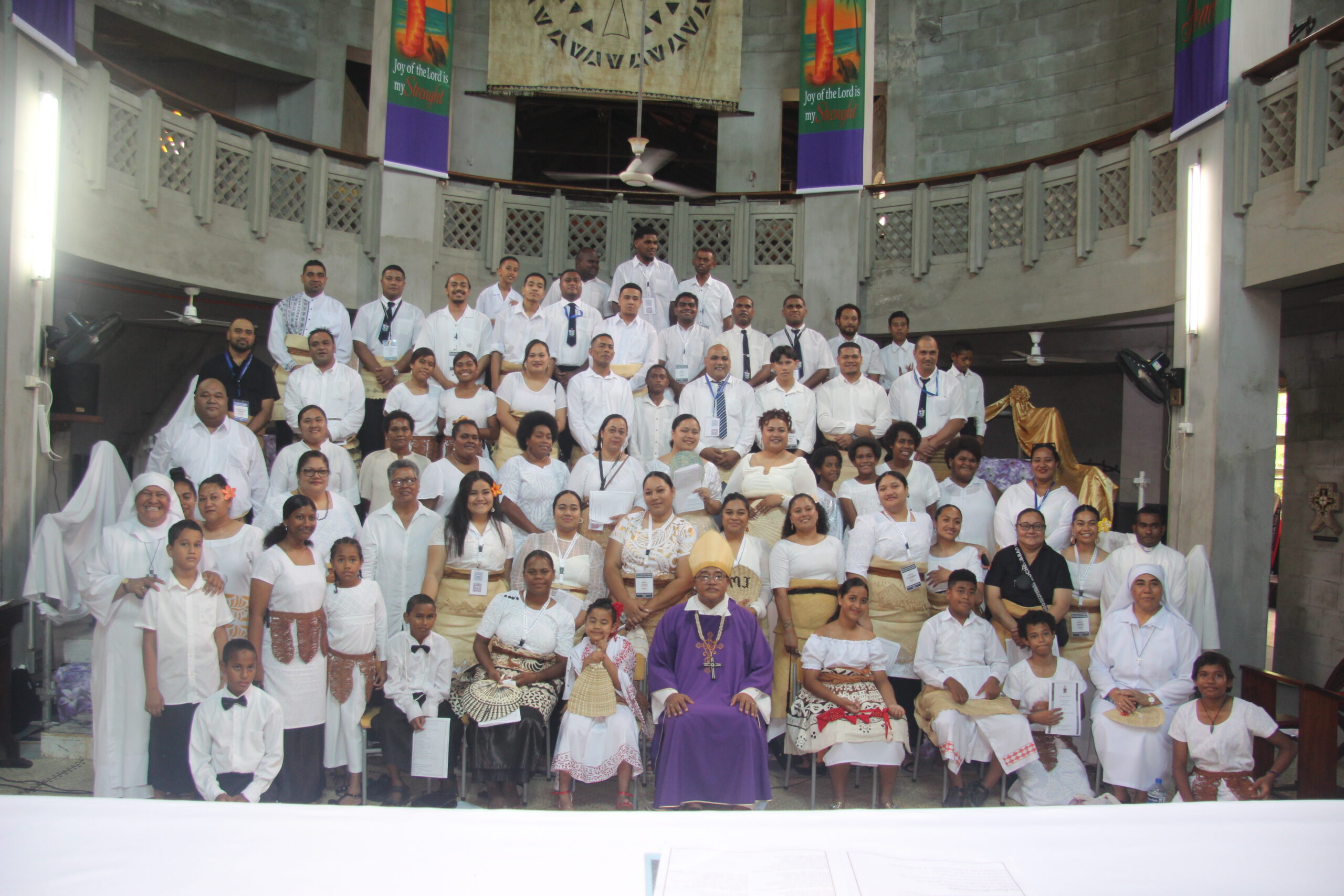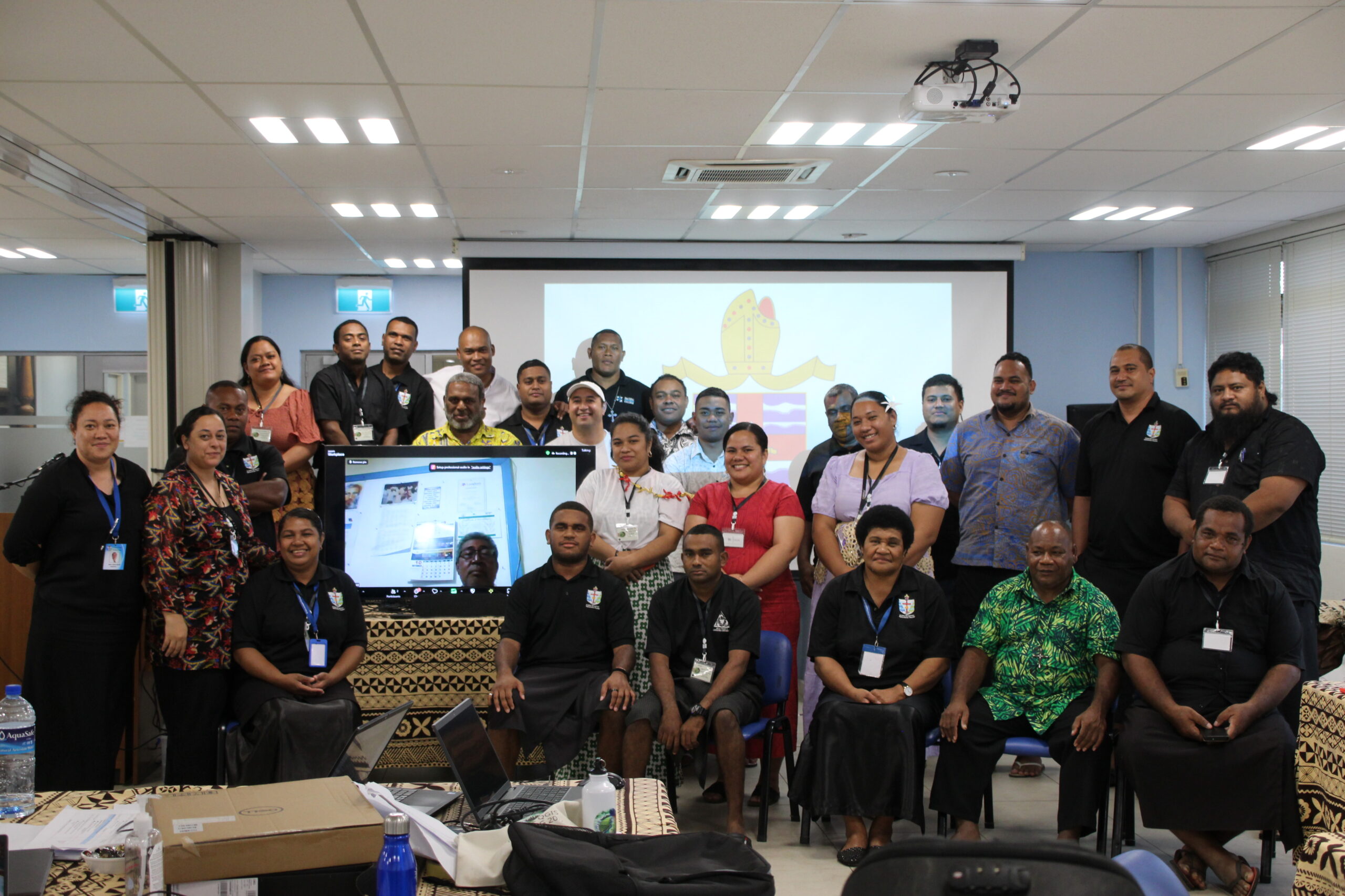
Over the course of four intensive days, participants from across the Anglican Church of Melanesia and the wider Pacific region gathered for the Community Integrated Vulnerability Assessment (CIVA) and QGIS Training of Trainers, hosted by St. John the Baptist Theological College. Guided by experienced facilitators including Ms. Elisiva Sunia, Mr. Viliami Folau, Mr. Sioeli Lolohea, Mr. Sione Sunia, and Rev. Canon Isaac Beach, the program offered a dynamic blend of theological grounding, technical training, and practical community engagement.
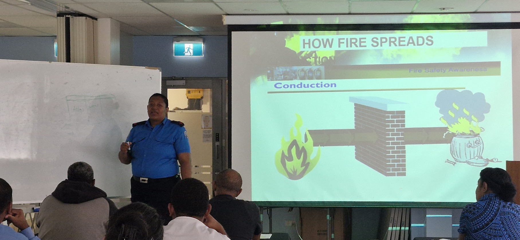
Day one introduced the foundational principles of CIVA and its integration with QGIS—a geographic information system essential for visualizing and analyzing community vulnerabilities. Participants explored the role of the Church in disaster risk reduction and resilience-building, emphasizing youth empowerment and the value of grassroots knowledge. The farewell to Mr. Pallawish Kumar also marked a moment of reflection on past efforts and future commitment to climate adaptation.
On day two, the training delved deeper into the Safe and Resilient Church methodology, focusing on participatory vulnerability assessments rooted in community storytelling, talanoa sessions, and culturally relevant practices like sevusevu. Practical tools and reporting structures were explored, and participants learned how to transform stories into actionable Resilience Action Plans. The day highlighted the Church’s unique position to sustain community-driven change, grounded in trust and presence.


Day three marked a hands-on introduction to QGIS. With step-by-step guidance, participants created their own maps, learning to navigate spatial layers, design shapefiles, and visualize key infrastructure and hazards. Confidence grew as groups began mapping actual parish households, bringing the abstract concepts of vulnerability and planning into vivid, practical focus.
The fourth and final day brought it all together. Rev. Canon Isaac Beach traced the whakapapa of CIVA within the Anglican Church, reinforcing the Church’s mission-driven role in climate action. Participants then integrated their qualitative data—stories, scorecards, and insights—into geospatial maps using QGIS. Vulnerability mapping became a storytelling tool, translating lived experiences into strategic planning. The session closed with a heartfelt tribute to Rev. Beach, whose wisdom inspired participants to carry this work forward with hope and commitment.
By the end of the training, participants emerged not only equipped with technical and strategic tools, but deeply inspired to lead climate resilience efforts in their communities. This journey reaffirmed that building a Safe and Resilient Church is both a spiritual and practical mandate—one rooted in collaboration, data-informed action, and enduring faith.
Discover more from Anglican Diocese of Polynesia
Subscribe to get the latest posts sent to your email.